
Case Study
Environmental and heritage mapping for Perth’s growing transport network
A long term blueprint for Perth’s future planning needs
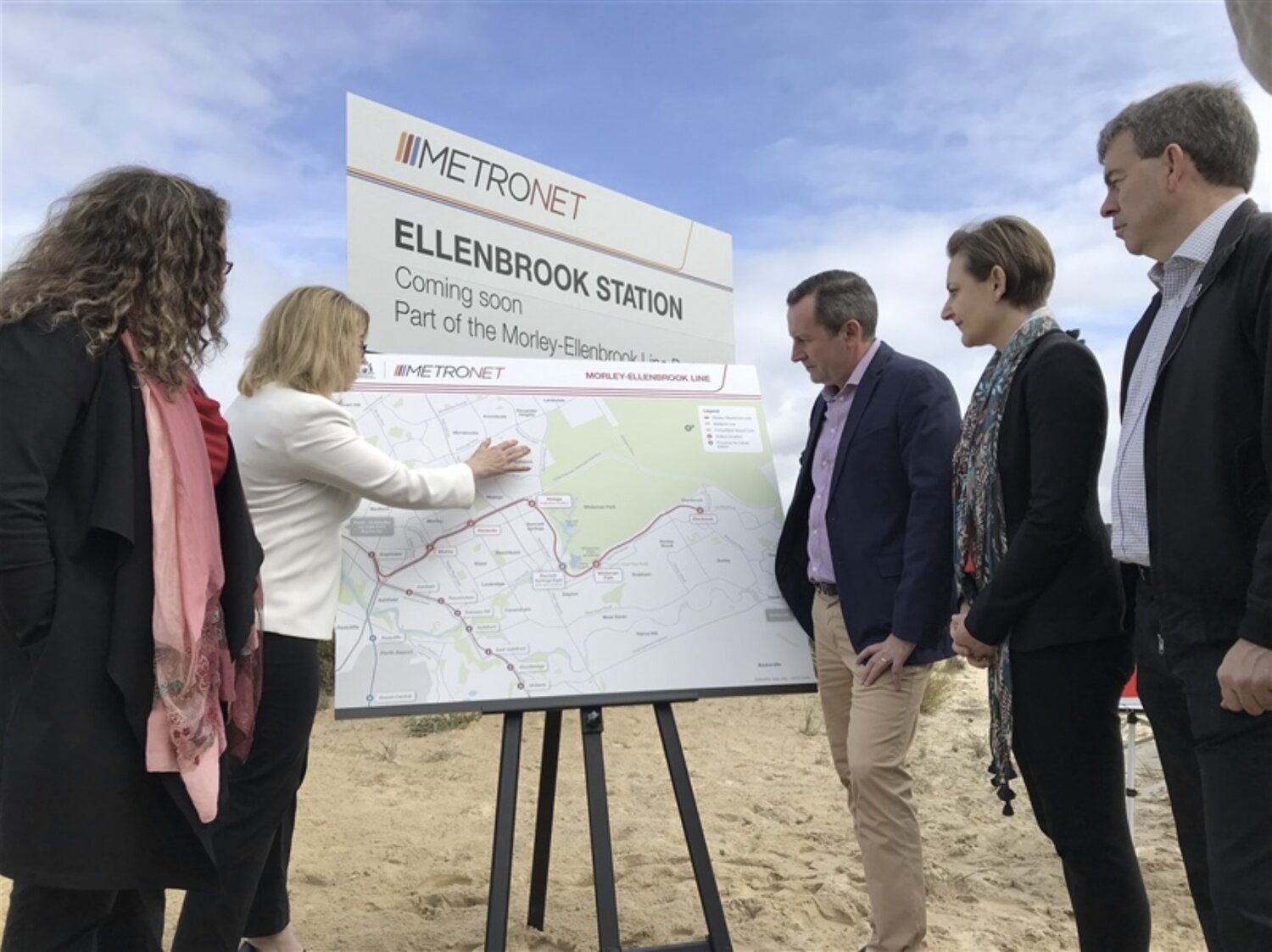
METRONET is an umbrella program for a variety of transportation projects that the Western Australian State Government is committed to deliver. Alongside the Public Transport Authority (PTA) and other state government departments, METRONET will provide and build additional public transport and transit oriented developments in the Perth Metropolitan area.
Geographic Information Systems (GIS) analysts were generally outsourced by the PTA to provide support to environmental reporting and approvals for METRONET projects. But the inefficiencies of this approach had the potential to cause unnecessary delays to project timeframes.
This traditional means of procuring GIS expertise presents a significant challenge for the METRONET team who need consistent, part time assistance across all phases of the projects, when required.

Need for a consistent and readily available GIS analyst
Previously, the PTA outsourced its GIS support which meant that when calculations and maps were produced externally, they would always be badged as an external product. This method presented the risk of time delays and disruptions to the METRONET project workflow as any changes to the project needed to be reviewed by the external party before work could continue or proceed.
Another key factor influencing resourcing for METRONET’s GIS capability is that the work typically comes in peaks and troughs. These short bursts of work have made it difficult to outsource consistent GIS support.
“It is unrealistic for us to have a team of full time staff as we have large amounts of work to do in short, one off periods of time, and then that work quietens down.”
— PTA Environmental Manager
GIS specialisation available on secondment


METRONET and Winyama formed a partnership that would ultimately alleviate the need for PTA to continuously outsource GIS professionals, closing the loop on a previously time consuming process. As part of the partnership, Merindah Bairnsfather-Scott (GIS Analyst at Winyama) has joined the METRONET team on secondment for a period of one year at two days per week.
Merindah supplements the current team by providing the GIS support required in response to PTA’s current project demand, particularly work involving flora and fauna surveys, contaminated sites, environmental, heritage, land planning and information processing.

She receives GIS information from external consultants and analyses it compared to the current project information, producing calculations, figures and maps that can be used in reports and for environmental approval purposes.
Moreover, Merindah’s secondment arrangement ensures the documentation that she produces is badged as PTA property and isn’t required to be externally reviewed.
“The benefit of partnering with Winyama is that we can engage with Merindah as the workload changes, plus she brings a unique level of understanding and expertise to the table with her background in Aboriginal heritage, which is quite similar to environmental surveying.”
— PTA Environmental Manager
Benefiting from a partnership now and into the future
The benefits of the PTA and Winyama partnership are multifaceted. For the PTA and METRONET, having Merindah as a part of the team means that they are saving valuable time and resources when it comes to performing the work required on their projects. They are also working with someone that has a unique skill set in Aboriginal heritage, adding a helpful lens and context to the work undertaken.
For Winyama, the partnership means that the business can better learn and understand the needs and protocols associated with working with a government agency, like the PTA.
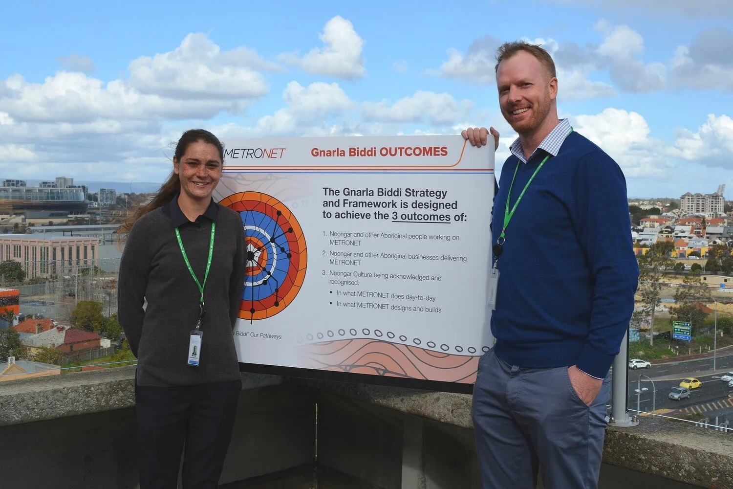
“Gnarla Biddi is a strategy that METRONET have done well, it is clear that they started this project from the outset with the right view”
— Merindah Bairnsfather-Scott,
Former GIS Analyst at Winyama
As this partnership progresses, the aim is to contract more Winyama employees to work on METRONET projects. Discussions about setting up GIS databases and web-based tools for the METRONET team have been flagged for investigation in the future.

“The future goal is to rotate more Winyama people into our team, ensuring that we have support for Merindah as the work continues to evolve.”
— Miranda
Watch the video below to learn more about the Gnarla Biddi (Our Pathways) Strategy.

Are you a Government agency looking to work alongside an Indigenous digital mapping organisation?
Winyama has unique skill sets in environmental, heritage and land mapping.
We would be happy to hear from you to discuss your next project.