

Newsroom
Winyama Transitions to 100% Indigenous Ownership Stake
Winyama today announces transition to 100% Indigenous ownership stake.
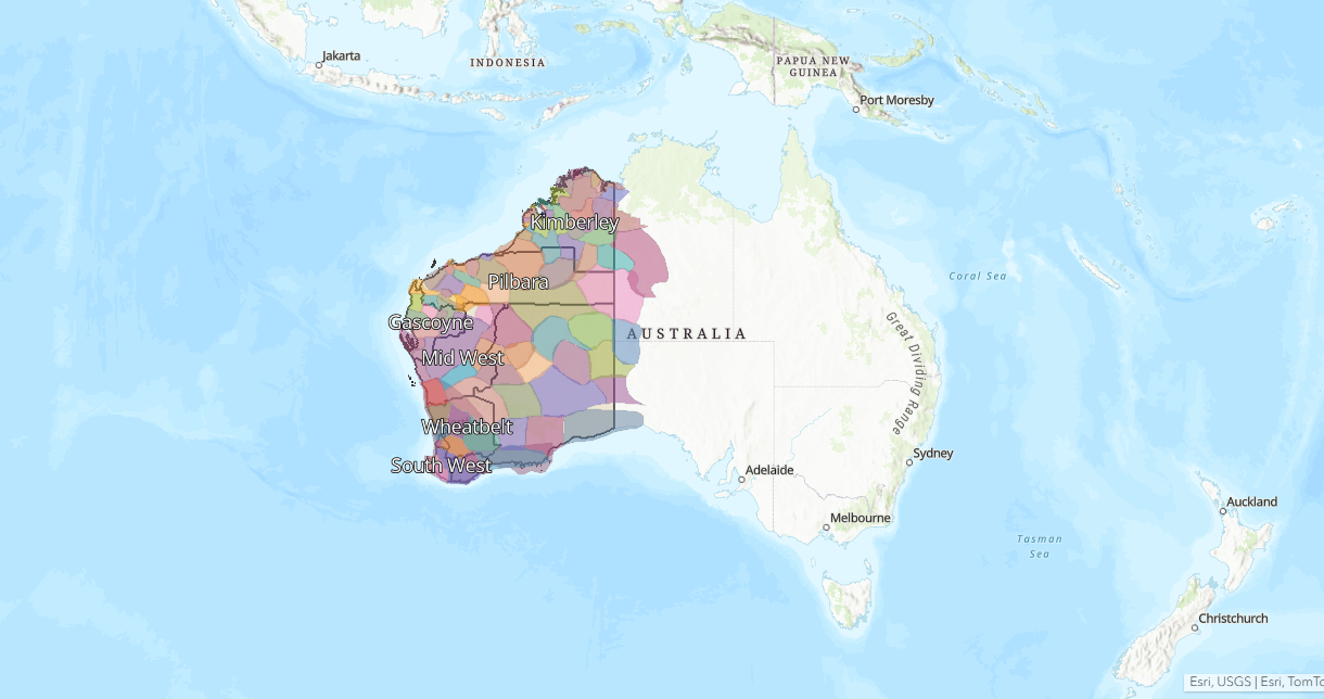
A Web Map to Support Local Government
Reconciliation WA is the peak body for reconciliation in Western Australia. As part of their strategy to support local governments in driving meaningful change with our Aboriginal and Torres Strait Islander communities, Reconciliation WA developed a digital hub named Kolbang Yanginy and engaged Winyama to develop an interactive map for the platform.
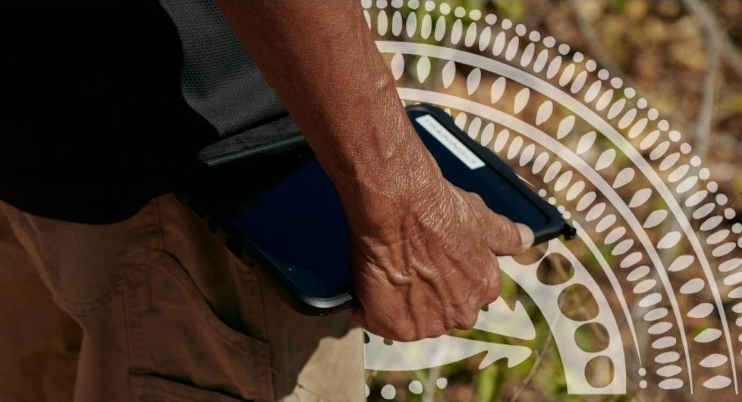
Connected Data Connects Us to Country
Every organisation holds deep knowledge about Country, people and place. Over generations, that knowledge becomes recorded in maps, datasets, surveys, ranger programs, land reports and digital files. Together, these resources tell a powerful story: what exists on Country, what is possible, and what must be protected.
The knowledge exists. The data exists. What's often missing is the structure to see it clearly.

Facilitating Meaningful Acknowledgements of Country With Ngurra Portal
AGIG is one of Australia’s largest energy infrastructure businesses. In 2025, they engaged Winyama to create a digital tool that supports their staff understand the land on which their organisation operates.
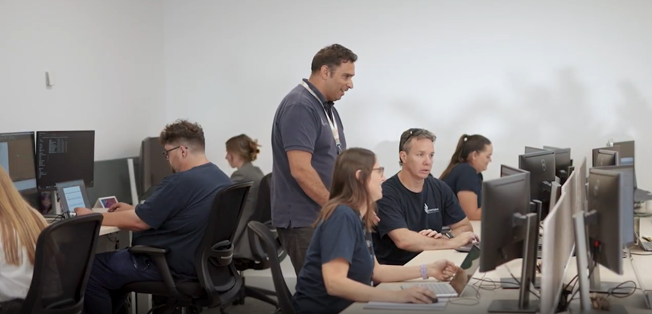
Tailored Geospatial Support for the ILSC
The Indigenous Land and Sea Corporation (ILSC) engaged Winyama as an external geospatial partner for geospatial support to help achieve its geospatial related objectives.

Practical Steps for a Secure Data Future
Data is one of the most valuable resources an organisation or community can hold. For Indigenous communities especially, data carries cultural, historical and social significance that goes far beyond numbers on a spreadsheet. Protecting that data means protecting stories, knowledge and identity for future generations.
We’ve put together some practical steps and guiding questions that can help you take control of your data journey…

Five WA Aboriginal Cultural Heritage Funding Opportunities You Need To Know About
To support our Aboriginal organisations protecting Country in Western Australia, we’ve shortlisted five grants that are currently open, or opening soon, that can fund our Mob in this vital work.

Capturing Noongar Cultural Knowledge with Gnaala Karla Booja (GKB) Aboriginal Corporation
In late 2024, GKB reached out to Winyama to coordinate a cultural mapping project for their organisation. The project is a culmination of knowledge from Elders from the region.

Cultural Mapping in Practice - Cultural Mapping Examples
In this blog, we explore three case studies that show cultural mapping in action. From collaborative work on Country to the use of emerging technologies, each story highlights a different approach to supporting self-determination and deepening our collective understanding of place.

#WhyIMap: Advancing Ulladulla LALC Priorities at the Indigenous Mapping Workshop
Jayden Perry is a Murramurrang man from the south coast of New South Wales and three time returning Indigenous Mapping Workshop participant.
Jayden shares with us how Ulladulla Local Aboriginal Land Council utilise maps to advance their priorities.

A Way Forward After Juukan Gorge
Five years on from the Juukan Gorge tragedy and Winyama reflects on the impact and way forward.

More Than Maps: How Community Strengthens Mapping Projects
Mapping begins with connection to Country, to knowledge but also to each other. It grows from the stories carried in the land and the responsibility to share them with care. While mapping can be done alone, when people come together to map, something shifts.

A Digital Archive for Future Generations. Cultural Mapping With Karri Karrak
Karri Karrak Aboriginal Corporation is the regional corporation for the South West Boojarah region. In 2023, they engaged Winyama for a cultural mapping project with a focus on capturing oral histories, cultural practices, traditional land use, and significant sites. Read more about the project here.

Mapping Oral Histories with Google Earth Pro
Oral history is the oldest form of knowledge sharing. Today, we continue to tell our stories, with a new variety of mediums, including digital maps in software like Google Earth Pro. In Google Earth Pro, it’s possible to identify specific places, paths and areas of cultural significance using points, lines and polygons. Embedding photos, videos, and audio adds detail to your map. This, in its simplest form, is cultural mapping.
Learn how to start your own cultural mapping project in Google Earth Pro here.

#WhyIMap: Inspiration at the Indigenous Mapping Workshop
Joel D’Antoine, GIS Technical Lead at Winyama, is a familiar face at our National Indigenous Mapping Workshops.
Returning as a trainer for 2025, Joel shares his passion for mapping and excitement for the upcoming event.

Shaping the Future of Indigenous Data Sovereignty
As we build on the foundations of Indigenous Data Sovereignty (IDS), we envision a future where our communities actively determine how our data is governed and applied across industries, ensuring the preservation of our histories, cultures and knowledge. Yet, in many ways, we are only just beginning this journey.
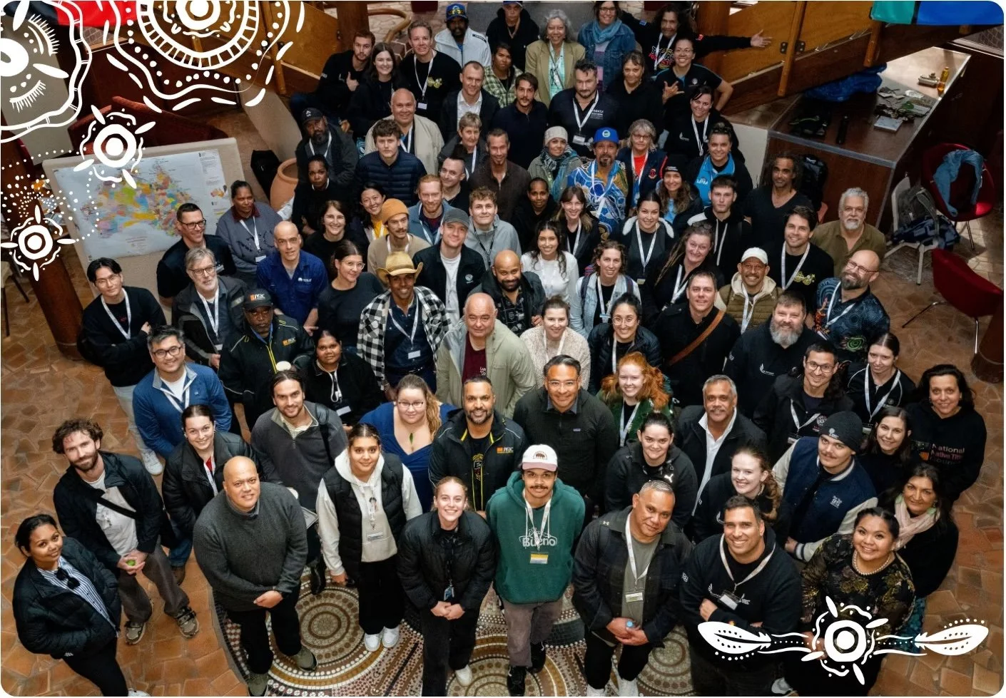
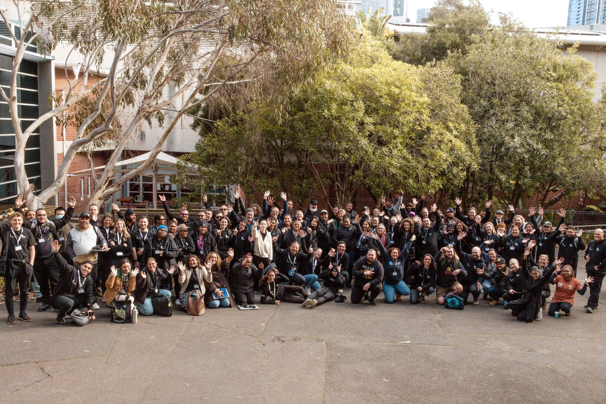
National Indigenous Mapping Workshop Comes to Brisbane
Winyama, in collaboration with the Indigenous Engagement Division of CQUniversity, is proud to announce the 5th annual National Indigenous Mapping Workshop (IMW), set to take place in Meanjin (Brisbane) from the 23-27th of June 2025.
Building Stronger Partnerships Through Indigenous Data Sovereignty
As we reflect on the significance of National Apology Day, understanding and respecting Indigenous Data Sovereignty becomes even more critical. It’s not only about acknowledging past wrongs, but also taking tangible steps towards reconciliation and respect in the way data is handled. Embracing IDS is a way forward–a commitment to honouring our Indigenous governance, empowering communities and ensuring that our data is used in ways that benefit us now and into the future.
National IMW 2023: A Call to our Indigenous Nations
The Wilin Centre for Indigenous Arts and Cultural Development, part of the Faculty of Fine Arts and Music at the University of Melbourne, works with Aboriginal and Torres Strait Islander communities to identify, recruit and support potential and practising Indigenous artists, as well as provides professional development opportunities for Australia’s First Nations peoples.
In 2023 they partnered with Winyama to host the National IMW. Learn more about the benefits of our partnership.

What is the Difference Between Cultural Mapping and Heritage Surveys?
Cultural mapping and heritage surveys may appear similar, but their purposes and methodologies are fundamentally different. Learn more in our latest blog.