
Resources
Resources to Download:
Indigenous Mapping Icons
In 2019, we partnered with Google to develop a set of icons designed to help Aboriginal and Torres Strait Islander communities map cultural and natural resources using Google's mapping tools, such as Google Earth and Google My Maps, as well as other platforms that support custom icons.
Designed by Dennis Golding—a Freelance Designer with Google’s Creative Lab and a proud descendant of the Kamilaroi/Gamillaraay people of North West New South Wales—these icons reflect a wide range of Indigenous experiences, from subsistence harvesting to cultural and sacred sites.
For thousands of years symbols have been created to help tell stories from the Dreamtime; they were painted on cave walls, carved into timber, on desert floors, and on bodies. Communities across Australia continue to use traditional storytelling as a way to map Australia's entire landmass, water resources, and sea Country and our Indigenous mapping icons serve as a bridge between these ancient storytelling traditions and modern mapping technologies.

PBC Capacity Building
Grant Funding Help Guide
The National Indigenous Australians Agency (NIAA) has an open non-competitive grant opportunity with a share pool of $54,000,000.00 available to PBCs in all states of Australia. The objectives of this grant are to increase the capacity of PBCs and take advantage of economic opportunities, build long-term organisational capacity within PBCs through training and obtaining professional expertise and support effective native title agreement-making.
At Winyama, we believe cultural mapping can play a key role in helping PBCs achieve these goals and have developed a Grant Help Guide for organisations who wish to make an application for this funding.
Find out more about PBC Capacity Building Grant Opportunity here.

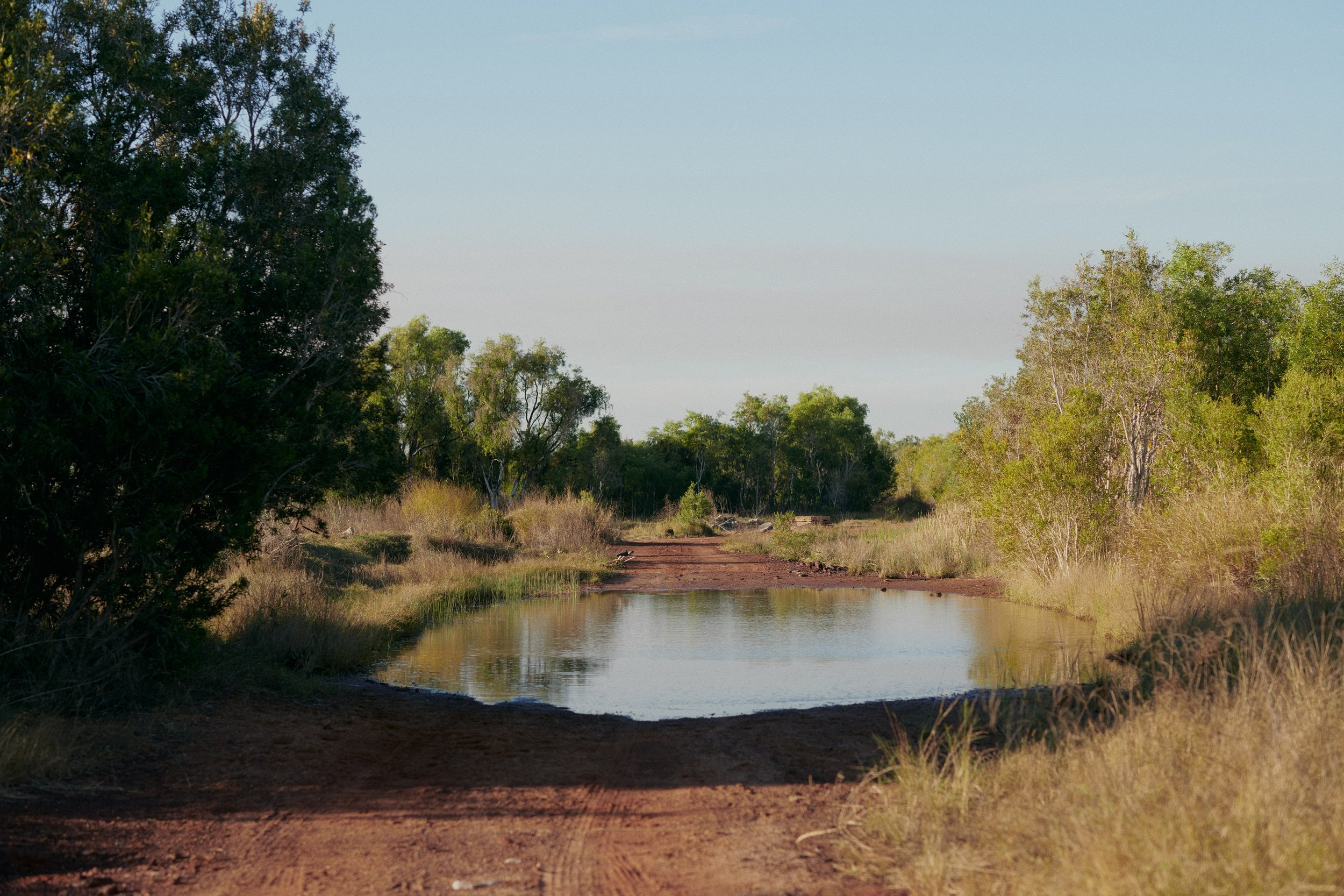
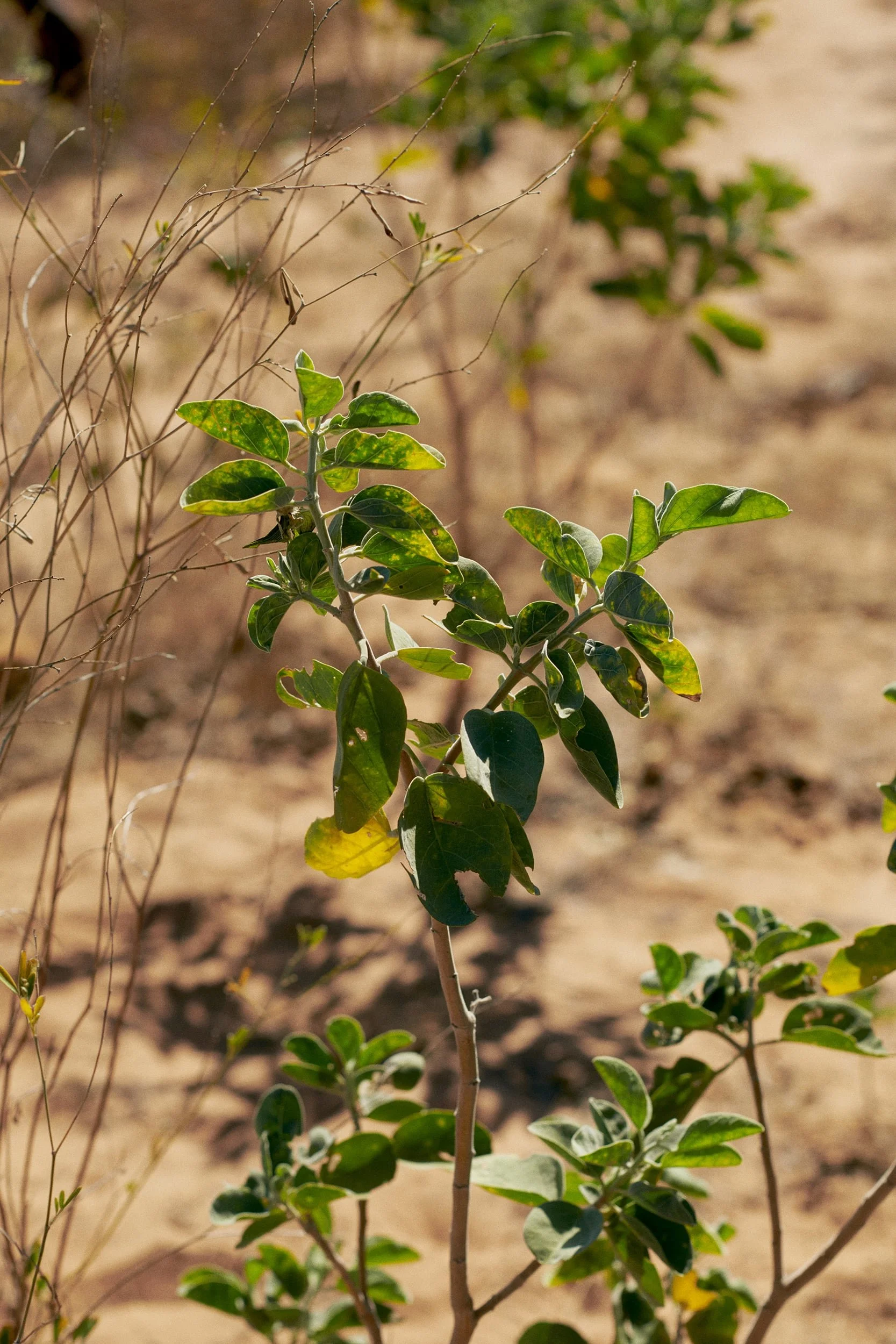
Laptop Wallpapers
At Winyama, we’re fortunate to get the opportunity to work out on Country, where we witness the beauty of the landscapes, skies, and stories that shape our work. Alongside our partners, we capture these moments—not just as images, but as reminders of the deep connection between people, place, and technology.
Now, with permission, we’re sharing these stunning wallpapers with you. Download them to bring the spirit of Country to your own screens and celebrate the land that continues to guide us all.
Resources to Listen:
The Big Mob, STEM It Up Project
Indigenous representation in the technology sector is few and far between. Realising this, Associate Professor Marnee Shay and Quandamooka postdoctoral fellow Ren Perkins from the University of Queensland launched a podcast series, "The Big Mob, STEM it up Project," which platforms Indigenous voices in STEM. The podcast series is part of a broader research project that explores the impact of programs designed to support the retention and advancement of underrepresented groups in STEM careers. The episodes below feature some of Winyama's staff, highlighting their experience and insights in STEM. Have a listen to our yarn!
Episode 12: Andrew Dowding, Winyama Managing Director
-
Join Ren Perkins in Episode 12 as they engage in a captivating interview with Andrew, diving into his education journey, sources of inspiration, barriers, and the impact culture has had in his approach as the Managing Director of an Indigenous tech company.
Episode 14: Grady Toomath, IT Consultant - Drone Specialisation
-
Grady Toomath is an IT Consultant and Chief Drone Pilot at Winyama. In Episode 14, Big Mob, Stem it up Project host Ren Perkins explores the multifaceted responsibilities of Grady’s role, unravelling his unwavering passion for STEM. Grady reflects on the pivotal role learning the fundamentals of physics, engineering, and maths has played in shaping his outlook on life and career, the influence of his role models, the intersection of science and culture, and more.
Location Matters
Location Matters is a podcast published by NGIS Australia, a Geospatial Consultancy and long-standing industry partner of Winyama. The series is devoted to discussing all things data, mapping software, industry trends and best practice. The following episodes highlight the expertise of our Winyama staff.

Episode 45: Communicating Indigenous Culture and Heritage Through Maps
-
When it comes to communicating the stories, culture, and heritage of Indigenous communities, maps are an incredibly effective tool. The deep connection Indigenous people have to lands and waters that they have inhabited for thousands of years means that there is an intrinsic connection to place. Therefore, maps are a natural fit for telling Indigenous stories, not only in Australia but around the world.
Hear from Winyama’s Managing Director, Andrew Dowding and former Winyama GIS Analyst, Merindah Bairnsfather-Scott as they discuss how maps can be used to communicate Indigenous knowledge and stories.

Episode 65: What is First Nations Earth Observation?
-
On the latest season of Location Matters, Managing Director of Winyama, Andrew Dowding, discusses alongside Data Scientist from NGIS Australia, Yvonne Fong, the potential of Earth Observation (EO) and First Nations Earth Observation (FNEO).
Episode 67: Empowering Women to Enter Tech Careers
-
Podcast host Claire Wilson is joined by three talented women in tech; Kate Kirwin, Founder of SheCodes, Daphne Yu Graduate Developer at NGIS Australia and our very own Khia Emslie-O’Brien, Geospatial Analyst at Winyama. Their discussion centres around why getting women into tech roles is so important, the opportunities available for women to enter tech through programs like SheCodes, and each woman’s journey which led them towards careers in the STEM industry.
Episode 68: Drone Mapping with Karen Joyce
-
Drone mapping provides a different perspective to traditional methods of surveying land which have previously been done on foot or with a vehicle. Join Karen Joyce, (She Maps Founder), alongside IT Consultant from Winyama, Tim Cable, and former Winyama GIS Analyst, Marty Rocks, as they discuss use cases for drones across Indigenous land management.


Resources to Read:
The Firelight Group
The Firelight Group is an international partner of Winyama and the largest Indigenous-owned consulting group working with Indigenous Nations across Turtle Island, Canada. Over the years they have produced a large library of publications covering research, impact/benefit negotiations for Indigenous communities, ecology, mapping and more.
Winyama Newsroom
Explore our latest stories on geospatial technology, Indigenous data sovereignty, data governance, and more. Discover how these fields intersect with community empowerment, environmental stewardship, and cultural heritage preservation, driving meaningful impact for Indigenous communities. Stay informed about cutting-edge innovations, ethical data practices, and the role of technology in protecting and managing Country.
Resources to Watch:
Meet the Mob Series 5 - Andrew Dowding
Meet the Mob is a YouTube series, created by Kristal Kinsela. She is a Jawoyn and Wiradjuri descendant and expert in supplier diversity. In her YouTube series, she interviews inspiring Australian leaders, opening up discussions about their work, vision and impact in the Indigenous business landscape. Recognised for his efforts, Winyama’s Managing Director, Andrew, sat down with Krystal to talk about empowering Mob with geospatial technology.
Winyama uses AI and ML to recognise flora and fauna for the Indigenous Rangers
Artificial Intelligence (AI) and Machine Learning (ML) are powerful tools that can amplify on Country work. Discover how we at Winyama are using this technology to classify flora and fauna, saving rangers time so they can do more work in the field.