How to document Indigenous fire burning practices with maps
This blog was written for our Indigenous Mapping Workshop Australia audience.
Indigenous fire burning practices are at the forefront of public discussion following the devastation caused by Australia’s Black Summer of 2019 - 2020.
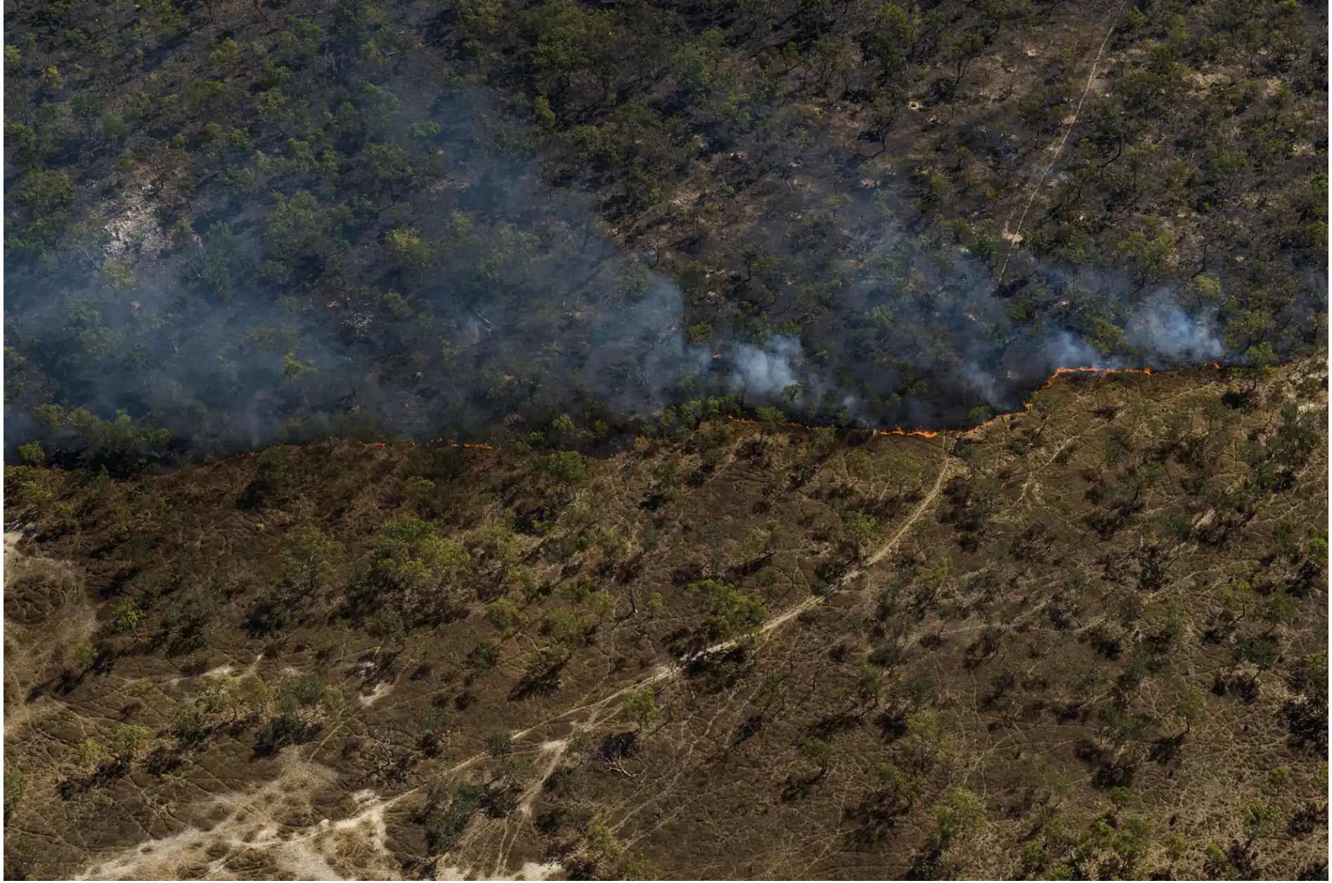
Indigenous and cultural burns are lit with the purpose of clearing pathways, regenerating the bush and contributing to the regeneration of native flora and fauna.
For tens of thousands of years, Indigenous fire burning practices have centred around cultural burns that are cooler and more frequent than the hazard reduction burns that we are more familiar with.
We reached out to two of our 2019 Indigenous Mapping Workshop (IMW) trainers, Dion Fleming and Dr James Keating, to discuss the use of fire scar mapping and what tools and techniques we have available to assist alongside Indigenous fire burning practices.
What is fire scar mapping?
Fire scar mapping is the act of viewing and mapping the visibly blackened land surface following a bushfire through the use of satellite imagery. This informs where higher fuel loads lie, where future burns may occur and can be used retrospectively to see how the burn fits into the landscape
Dion explained that the primary reason for creating fire scar maps is to gather statistics on the size and shape of the area that has been burnt.
Dr Keating states “Fire scar mapping is not a new concept and has been used extensively by Governments around the world to manage their natural environments during fire season and to plan for risk.
“Knowing when, and how much land has previously burned is also crucial for understanding fuel loads on the ground and planning effective fire burning practices,” he said.
How can fire scar mapping be adopted for Indigenous fire burning practices?
Fire scar mapping has created a digital link for Indigenous communities who have extensive fire burning knowledge and conduct their own burning.
Image Credit: The Conversation
Indigenous groups have been using GIS and GPS devices for many years to map fire scars. Remote sensing using freely available multi-spectral satellite imagery is another tool in the kit for Indigenous groups to apply to fire scar mapping, and it ensures that the mapping of wildfires can be captured at scale.
“Some of these areas where cultural burns take place can be so vast, there is the possibility that some areas won’t be accounted for. Using satellite imagery from above means that you’re more likely to get accurate estimates,” Dion said.
Dion also explained that many native title holders have reported expectations to uphold and report on the number of bushfires that had occurred on their land, and that calculating the amount of land that had been burnt is often difficult and time consuming to conduct manually. Dr Keating followed this stating, “the speed and efficiency at which you can map multiple fires with a high level of precision using free to use software and satellite imagery is incredible”.
Dr Keating says that simple remote sensing techniques can be used as a resource for educating younger generations about fire management. When performing a controlled burn, education on factors such as fuel loads, winds, topography and moisture content can be taught and then reflected upon when analysing the map of the fire scar following the burn.
Fire scar mapping for beginners
Getting started with fire scar mapping can seem daunting but there is a lot of free software and satellite imagery available.
QGIS is one free open source software that can be used for fire scar mapping and was taught at the Indigenous Mapping Workshop. Within QGIS, satellite imagery is available from the United States and European government satellite imagery programs.
Sharing findings and ways to present results on a map to people who are unfamiliar with GIS is important when getting started with fire scar mapping. “You can be sure someone else will come across the same challenges you have,” Dr Keating said.
A final recommendation from the trainers is to reach out for support. When using an open source software there is a community of users that are willing to help you learn.
Fire scar mapping and the Indigenous Mapping Workshop
Dr Keating described teaching the fire scar mapping using QGIS session at the IMW 2019 as equally educational for himself.
“I was the student,” Dr Keating said.
“In the room there were people and groups with years and years of hard-earned experience learned on the ground and from stories passed down over generations.
“From a practical point of view, putting information on a map was second nature for the participants, because this is their land and they understand how fire shapes it better than anyone,” he said.
While many of the participants were already familiar with fire scar mapping through using government websites such as North Australia and Rangelands Fire Information, the training at the IMW 2019 empowered the attendees to create fire scar maps using other freely available resources.
Dr Keating said that there is not merely one method of remote sensing for land management and that he hopes to teach another session on other land management approaches in the future.
To learn more about the fire scar mapping training available at the Indigenous Mapping Workshop, apply now!
Learn more about Winyama’s Mapping services.
To learn more about Indigenous fire burning practices, click the following links to discover successful cases and fire scar mapping examples.

