Newsroom
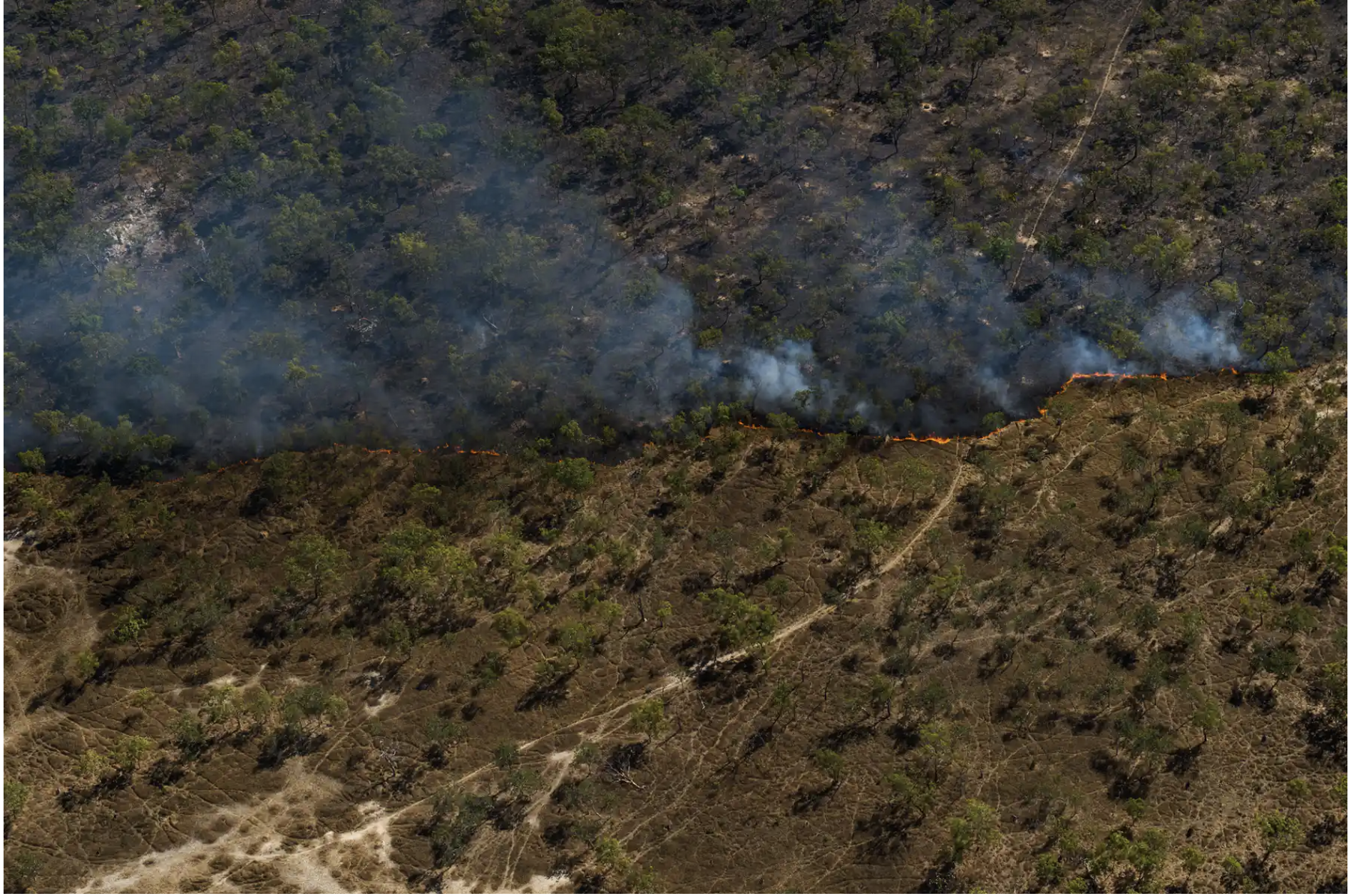
How to document Indigenous fire burning practices with maps
While Indigenous fire burning practices have come to the forefront of discussion, we caught up with 2019 IMW Fire Scar Mapping trainers Dion Fleming and James Keating to discuss what tools can help us document these practices.
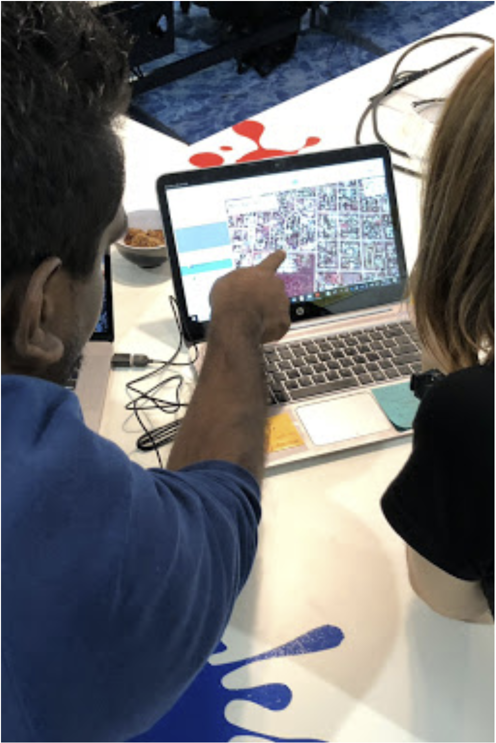
Digital tools for local knowledge: The tourism industry of Pine Creek
The small town of Pine Creek has been empowering their Indigenous community members through the use of digital tools in tourism.
Ancient Aquaculture Sites in Budj Bim Cultural Landscape
Located on Gunditjmara Country within the Budj Bim Cultural Landscape, ancient eel traps that were engineered by Indigenous Australians thousands of years ago have recently been gaining national attention.
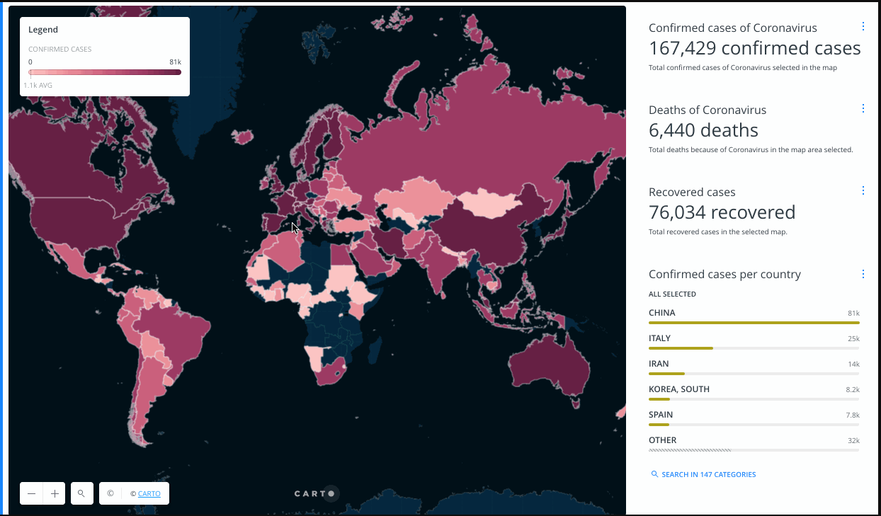
Why you need to know about Indigenous Data Sovereignty
What is Indigenous Data Sovereignty and why is it so important in the midst of COVID-19?
Winyama #COVID-19 Update
Winyama’s priority is to protect the health of our people, clients, families and community. Learn more about how our operations may change during this time.
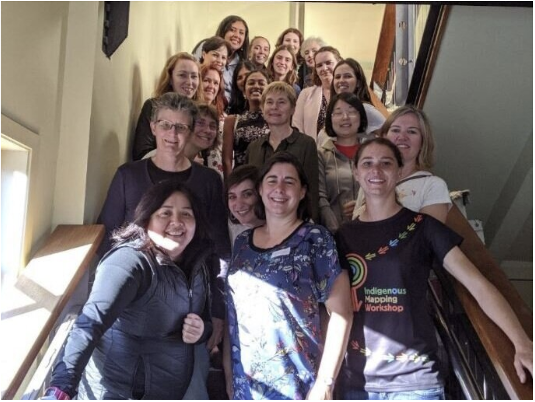
#WhyIMap: Volunteering at the Indigenous Mapping Workshop
GIS student and volunteer Amy Kempton shares her #WhyIMap story and her volunteering experience at the Indigenous Mapping Workshop.
#WhyIMap: Growth within the Indigenous Mapping Workshop
GIS Analyst Merindah Bairnsfather-Scott shares her #WhyIMap story as the first of a five part series leading up to the Indigenous Mapping Workshop.
IMW Scholarship: Willowra Community
Willowra Community received a scholarship at the 2019 Indigenous Mapping Workshop. Petronella Vaarzon-Morel spoke with us about their mapping project.
IMW Scholarship: Kullilli Bulloo River Aboriginal Corporation RNTBC
The Kullilli Bulloo River Aboriginal Corporation RNTBC was one of three organisations to receive a scholarship at the Indigenous Mapping Workshop (IMW).
FOSS4G SotM Oceania attendees descend on Wellington
This year, Winyama’s GIS analyst Merindah Bairnsfather-Scott attended FOSS4G representing both Winyama and the Indigenous Mapping Workshop.
The Aboriginal Way: Western Science meets Indigenous Science
Gnarla Boodja Mili Mili uses an old archival map to show the original swamplands overlaid with Google Maps that reveal 21st century streets and built infrastructure. It shows users intrinsic Aboriginal knowledge in a modern digital setting and provides a detailed, pre-colonial Aboriginal place naming map of Whadjuk country.
Spatial Industry Recognition for Winyama and IMW Australia
The Winyama team takes away the 2019 People and Community Award at the Western Australia Spatial Excellence Awards (APSEA) for their work on the Indigenous Mapping Workshop Australia.
Winyama receives McGowan Government STEM Education Grant
Winyama has received a $70,000 grant for its community event, the Indigenous Mapping Workshop Australia.
Winyama successfully delivers geospatial training for over 60 Indigenous organisations at IMW Australia 2019
Over 100 participants met in Perth last week on 16th, 17th and 18th July to participate in the 2nd annual Indigenous Mapping Workshop Australia. The workshop, organised by Winyama, provided free geospatial training on Google, Fulcrum, Esri, Mapbox and QGIS to attendees.
Winyama named as official partner for the Indigenous Mapping Workshop
Following a successful pilot year in 2018, Winyama is pleased to be named the official partner of the Indigenous Mapping Workshop (IMW) in Australia.
Podcast: Indigenous Communities and GIS
Listen to this episode of the podcast Location Matters where Winyama’s managing director, Andrew Dowding, discusses the connection between GIS and Aboriginal communities and the importance of digitally documenting Indigenous knowledge through maps.


