

Newsroom

How your organisation can protect its ICIP using the cloud
Vague Australian legislation and law surrounding Indigenous Cultural Intellectual Property (ICIP) unfortunately puts the onus of protecting it on individual communities and organisations. Learn more about the cloud and how it can be used to protect ICIP.

Indigenous IT consultancy Winyama helps close the digital gap in remote communities
Winyama’s journey with Amazon Web Services. This blog was initially written by Amazon Web Services staff for the Amazon Newsroom.
IMW team train WA school teachers in Google Earth Pro as part of two way learning pilot
IMW Australia leader, Andrew Dowding and GIS team member, Holly Moore travelled to Broome to deliver Google Earth Pro training to West Australian school teachers as part of a two way learning pilot program. The pilot is an initiative led by the Department of Education WA, who are currently running multiple trials across the State.

When Indigenous culture converges with work
The team at Winyama took a trip to John Curtin Gallery to learn not only about the history of the Carrolup Collection but also about the camp itself. Winyama went on a tour to view the Carrolup Collection. On this tour, the team heard stories and knowledge of the past history of Winyama’s Junior Cloud Intern Grady Toomath’s grandmother, and looked into the life of other aboriginal children who grew up in the Carrolup Camp.

The most common file types you’ll come across as a mapping beginner
Are you learning to map in Google Earth, QGIS or ArcGIS? Read our helpful guide that outlines the common file types you’re likely to come across now that you’ve begun your mapping journey.

Winyama presents at the AWS Summit Canberra 2022
Andrew, Tim and Jaden travel to Canberra, speaking to AWS employees and partners about Indigenous digital inclusion and the work Winyama has been up to using AWS services and products.

What is cultural mapping and how can it benefit your organisation?
Winyama works in partnership with Indigenous communities to create cultural maps. Cultural mapping is the process of Indigenous placemaking. Indigenous landscapes are alive with local stories, practices, relationships, memories, and rituals that constitute places as meaningful locations. Cultural mapping is increasingly being seen as a useful way for Indigenous communities to communicate effectively the value of place to non-Indigenous stakeholders.

Two way science should be part of the school curriculum: here’s why
Two way science is a philosophy of teaching and learning that connects Western science with Indigenous science under the Australian school curriculum.

Aboriginal Icons and their history through meaning
Cultural history brings to life a past time and place. Indigenous art has been shaped by common factors such as the environment and historical events, shared between different tribes. The history behind Aboriginal icons looks further back into the symbolism in Aboriginal art which is deeply focused on the Dreamtime. This period of time was believed to be when the world was created according to Aboriginal culture.

What is Indigenous Cultural Intellectual Property and how does it protect traditional knowledge?
Indigenous Cultural Intellectual Property (ICIP) is a term used globally to refer to the basic human rights of Indigenous communities to protect and use their traditional knowledge and forms of traditional cultural expression. However, in Australia there is no specific IP law that protects ICIP.

Podcast: Empowering women to enter tech careers
Hear the career journey of three talented women in tech and learn more about free opportunities to learn coding and digital mapping skills.

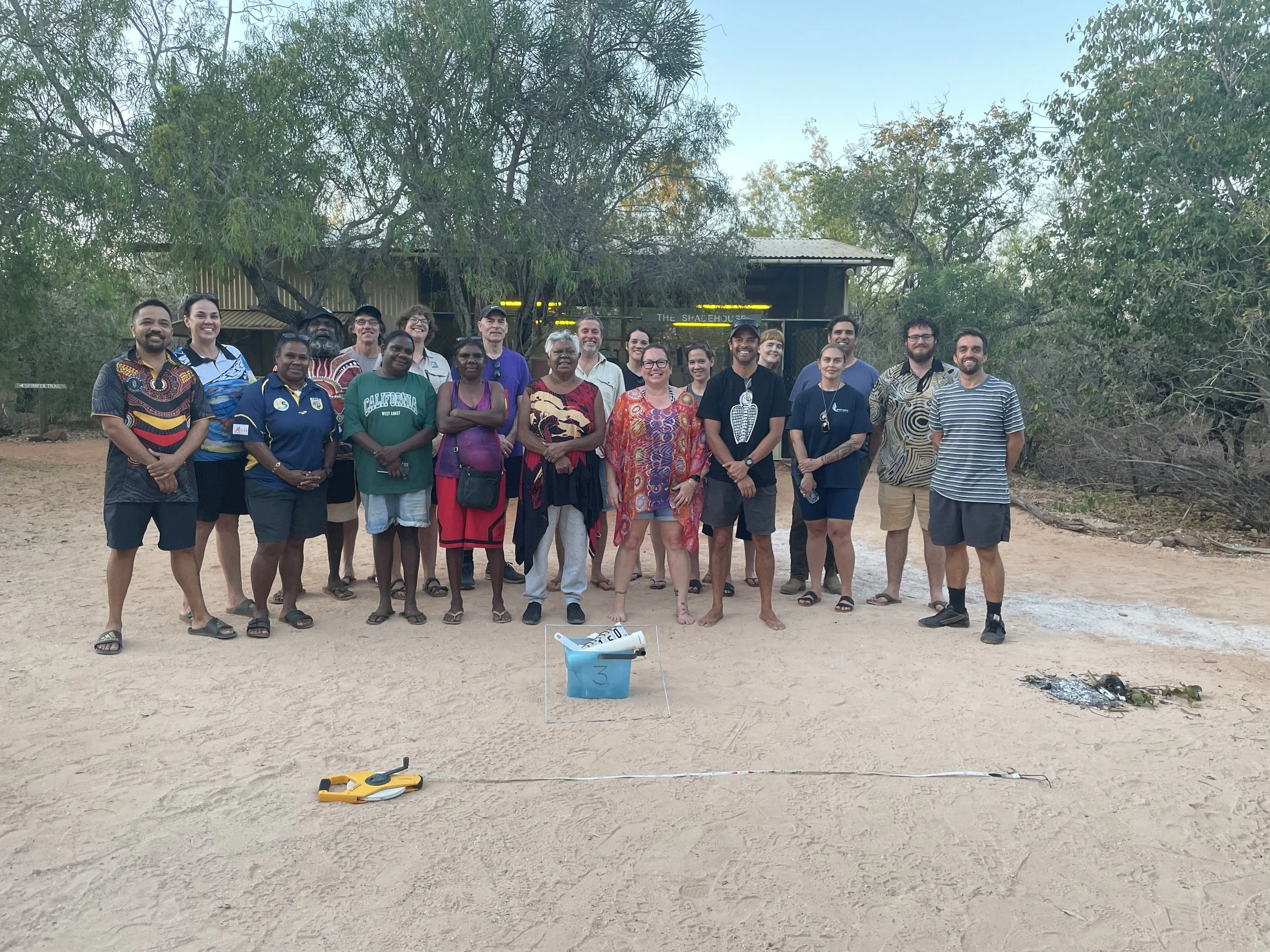
IMW Australia trains 50 female rangers in QGIS fire mapping
Five of our team members travelled to Broome recently to facilitate QGIS fire mapping at Kimberley Land Council’s Women in Fire Forum 2022.

How to create an address for places with no address using Google Plus Codes
Places in remote Australia often don’t have an address attached to them. So what do you do if you want to let people know that place exists? You generate a Google Plus Code.

Winyama at the Geo for Good Virtual Summit 2021
Managing Director, Andrew Dowding presented at Geo for Good 2021 alongside other Indigenous mapping experts on the Indigenous Peoples and Local Communities Panel.

Winyama presents at the FOSS4G Perth conference
Winyama team members, Senior GIS Analyst, Marty Rocks and IT Consultant, Tim Cable present at FOSS4G 2021; a conference that celebrates open source geospatial technology.

Winyama scales the use of OpenDroneMap using AWS technology
Winyama used Amazon Web Services (AWS) EC2 to scale OpenDroneMap to meet image processing requirements for Indigenous Mapping Workshop Australia.

The intersection of art and science
Khia Emslie-O’Brien shares how she found her passion for art and science in a geospatial internship.
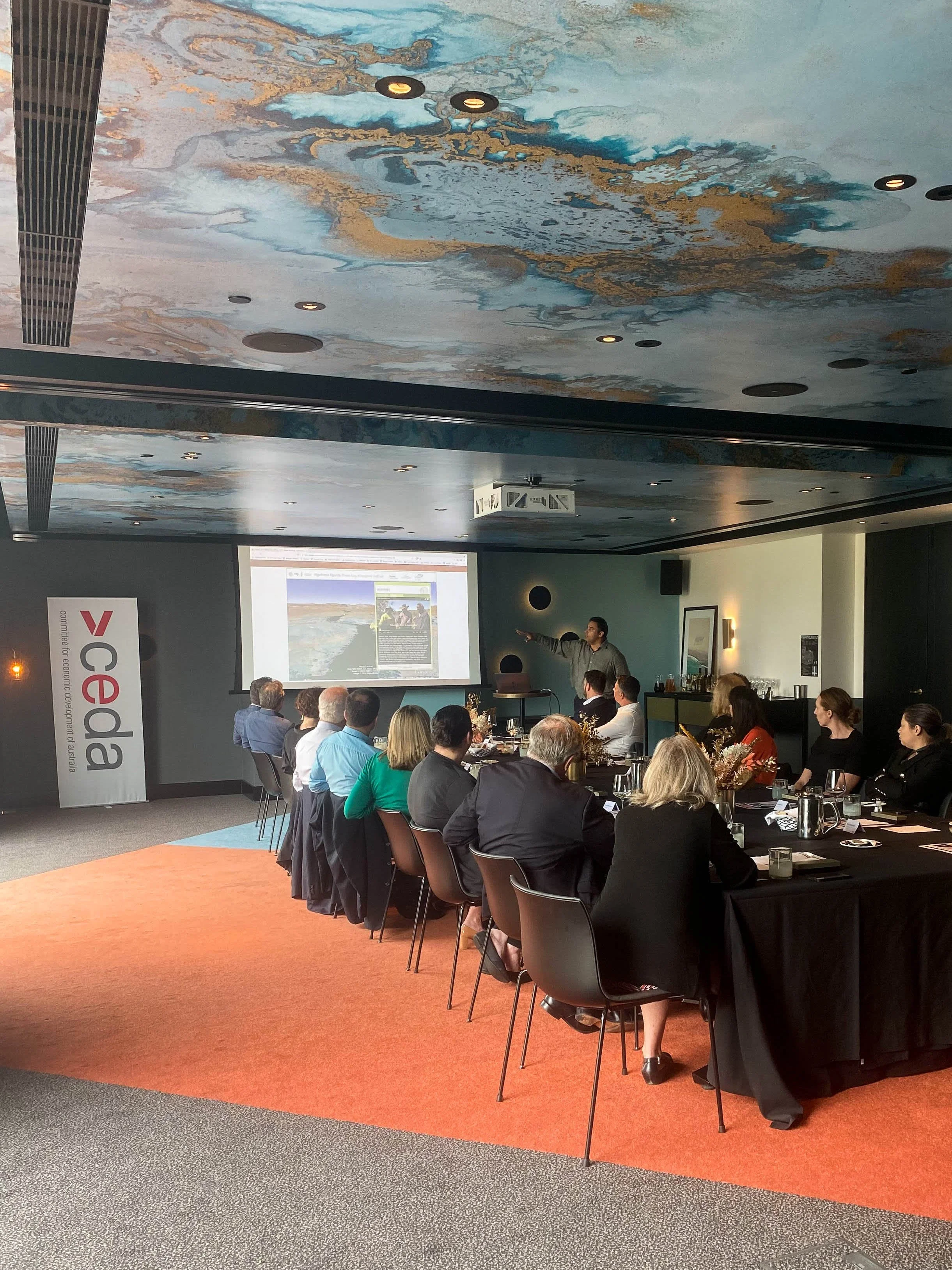
Andrew Dowding speaks on Indigenous participation in the digital economy
Andrew Dowding speaks to West Australian CEDA trustees on Indigenous participation in the digital economy.

Winyama’s first Cloud Intern
Hear from Grady about his experience as a Cloud Intern at Winyama.