
Mapping Services
As an Indigenous-led team, Winyama offers a suite of comprehensive culturally appropriate mapping services. Our solutions give our clients the confidence to effectively communicate and understand Indigenous tenure, claims, culture, heritage and Indigenous history.
Why Work With Us?
Cultural sensitivity
Our way of working ensures that key considerations such as privacy, gender considerations, and restricted knowledge are approached with care. Communities can engage with us in digital mapping practices with confidence without divulging intimate components of Indigenous cultural intellectual property (ICIP).
Technology and domain knowledge
Our combination of domain knowledge and technical skill uniquely positions us to execute cultural mapping and mapping work that relates to the Indigenous estate.
Our geospatial solutions consider the complexities of land tenure as well as the requirements of legislation such as the Aboriginal Heritage Act, Environmental Protection Act, and Indigenous Procurement Policy.
Explore Our Mapping Services
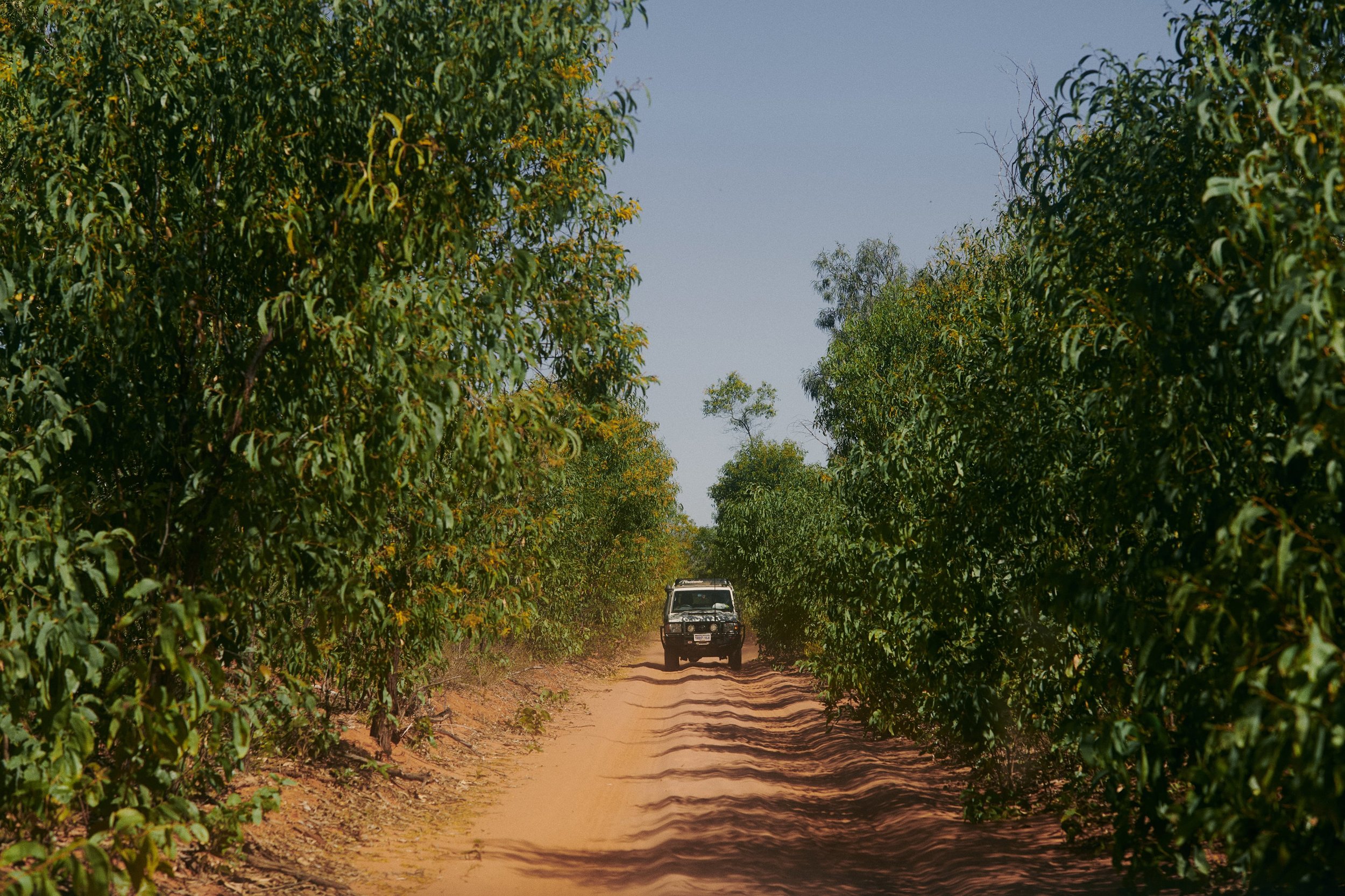
Cultural Mapping
Cultural mapping is the process of documenting and representing the cultural resources, heritage, and assets of a specific individual, community, or geographical area. It includes elements such as landmarks, traditions, advocacy tools, and truth-telling.
Winyama employs multiple methods of cultural mapping to document the intricate layers of local traditions and life experiences.
These methods are based on techniques shared with us by the Firelight Group, the largest Indigenous geospatial consultancy working across Turtle Island, which Winyama has refined and made suitable for use with Australia’s First Nations people.

Our Methodologies

-
Through mapping biographies, we can reveal the complex exchange between personal narratives and their connection to Country. The outcome of this service is to provide a comprehensive and visually compelling representation of the relationships between individuals, their land, and the events that have shaped their lives.
These mapped biographies serve as a powerful tool for reflecting our nation's history, fostering intergenerational connections, promoting cultural continuity, and deepening appreciation for shared values and experiences. Through this collective storytelling, the acknowledgment of historical injustices becomes integral to the truth-telling process by truly understanding the broader Indigenous experience in Australia.

-
Significant site mapping highlights the functioning of Indigenous economies before colonisation and their continued relevance in the present day. This mapping technique shows how traditional economic practices are still present today, and also how they’ve been updated to fit into contemporary culture. This extensive process involves close collaboration with Elders to chart specific geographical areas, including heritage sites that are crucial to their traditional economy, encompassing hunting and fishing grounds, as well as locations for gathering bush medicines.
By using data, GIS programming, 3D visualisation, and digital twins, we provide clients with maps that empower them to have transparent conversations. Our process involves overlaying high-quality aerial imagery and terrain data with sites of cultural significance to recreate a virtual landscape, which can then be navigated by Traditional Owners.

-
Place name mapping is a truth-telling exercise. Place naming aims to acknowledge and reflect on the systematic removal of Indigenous names from our maps. Through place name mapping, we endeavour to restore Indigenous names to their rightful place on the map. The process is guided by Elders and community members, and stands as a collaborative effort that honours and preserves the richness of Indigenous languages and traditions.
Enquire about our cultural mapping services
Land and Sea Country Mapping

With so much of Australia's landmass falling under the Indigenous land estate, Winyama recognises that there are unique needs associated with managing these territories. Our services are designed to enhance and support the methods of Indigenous land and sea management.
Land and Sea Country Mapping Services

-
Optimise your current organisational processes through consultation with our experienced team. We are available to advise or complete part of your mapping project.

-
Winyama can create custom map products that use satellite or drone imagery. These bespoke maps serve as sources of truth that pinpoint cultural sites, vegetation, fire regimes, pests, and more. Depending on your team's needs, we can offer end-to-end map production or a tailored package that includes some of the following; project managing, data sourcing, data management, image processing, analysis, and data packaging.

-
Manage your own mapping projects by developing your team’s skill sets across Geographic Information Systems (GIS), drones, and data management software. We can provide custom training or, if you work for an Indigenous organisation, explore our free mapping training through our Indigenous Mapping Workshop Australia Program.
Other Mapping Services

-
Social surrounding surveys review the social, cultural, and heritage values within and around a specified area. These surveys are done to ensure that the social surroundings that fall under any proposed projects are protected from significant harm.
Winyama can provide digital consultation maps, as well as fly-through tours that contain social surrounding survey data.

-
Winyama can consult with your organisation to create a searchable database containing information about your heritage places and site information; including sites of significance, physical descriptions, historical information, site class, photographs and heritage survey information.