Newsroom
Data governance in Native Title: Why it's important
Having an adequate data management system in place and practicing data governance is fundamental for Native Title Organisations to succeed. Find out why.
Producing a virtual and inclusive Acknowledgement of Country
The launch of IMW Australia - On Demand pushed our creative boundaries when it came to delivering an authentic Welcome to Country for our participants. Read about how we navigated this space.
Mapping Country in 3D just makes sense. Here’s why.
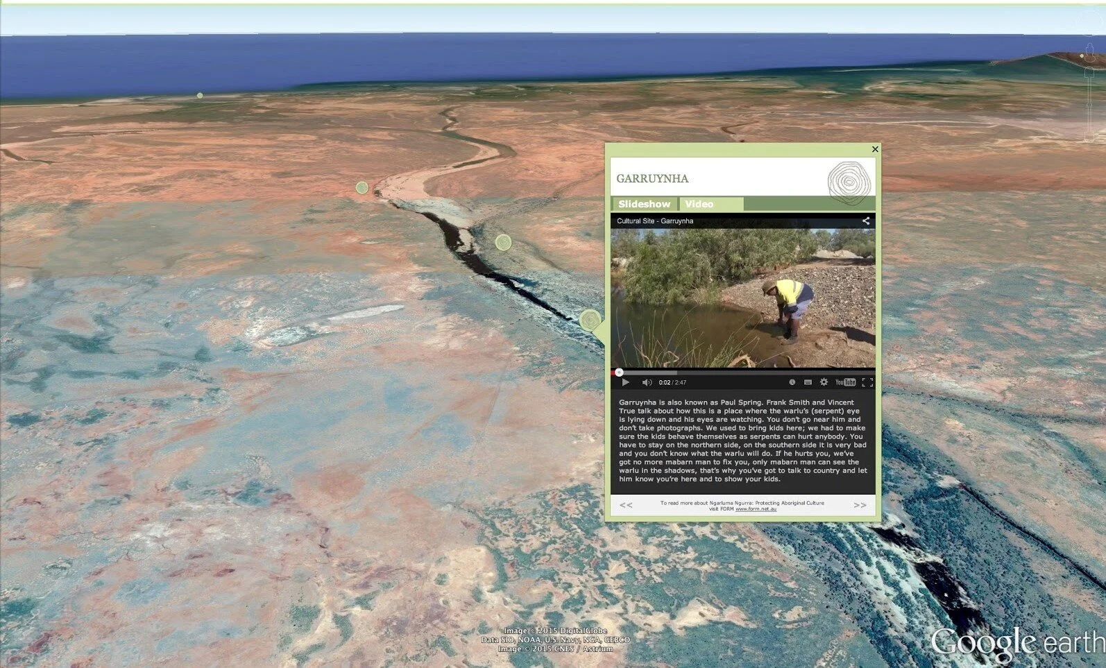
Indigenous Elders across Australia have an extensive knowledge of the landscape and an understanding of country that is most accurately displayed using 3D GIS technology.
IMW Australia - On Demand streams and their course card symbolism
To meet the various learning requirements of all participants, the IMW Australia - On Demand hosts four course streams that each cater to a different learner and technology. These are identifiable by course cards cleverly constructed by Leon Design.
How do the IMW Australia - On Demand virtual labs work?
IMW Australia - On Demand has introduced virtual labs, which are useful for participants who are unable to, or don’t have permission to download software onto their computer. But what is a virtual lab and how does it work?
Winyama successfully launches Australia’s first free, online, Indigenous mapping training
On the 22nd September 2020, Winyama officially launched the IMW Australia - On Demand - an online learning platform hosting specialised geospatial training for Indigenous organisations
Leon Design and the IMW Australia - On Demand
IMW Australia have worked with Leon Design and Google Creative Labs to produce a to develop an Indigenous visual identity for the IMW Australia - On Demand learning platform.
Best practices for the field: Tips for conducting interviews for heritage mapping
Conducting interviews is an integral part of heritage mapping and involves asking questions that locate sites of cultural significance. We have compiled some of our tips and a best practice guide for the field to help get you started.
Podcast: Communicating Indigenous culture and heritage through maps
Listen to this episode of the Location Matters podcast to hear our very own Andrew Dowding and Merindah Bairnsfather-Scott discuss how maps can be used to communicate Indigenous knowledge and stories.
What is Section 18 of the Aboriginal Heritage Act WA and why should you know about it?
The destruction to the sites of sacred and cultural significance to the PKKP People of Australia’s north west has triggered a ripple effect for those who are fighting to protect their land, culture and heritage. A discussion of the Aboriginal Heritage Act 1972 can answer some front facing questions about how destruction of this nature can occur in Western Australia.
Deadly Data Management - the dos and don’ts
Brand new IMW Australia - On Demand course ‘Deadly Data’ will teach best practice when it comes to managing GIS data. In the lead up to the launch, we have shared our top tips on data management with you.
How can the Indigenous bush food industry benefit from mapping?
Find out how mapping technology can benefit the native bush food industry in Australia through introducing production systems and increasing the consumer market.
Three ways you can get digital qualifications from home
IT Services Coordinator, Tim Cable, is leveraging online learning platforms to further his digital industry knowledge. He has noted three key recommendations for anyone looking to broaden their skills using digital technology.
Podcast: Indigenous Mapping training available online
Listen to this episode of the Location Matters podcast to hear the strategy behind launching IMW Australia - On Demand.
Addressing digital inclusion in your RAP
Find out how you can address digital inclusion within your RAP with our Managing Director, Andrew Dowding.
#WhyIMap: Supporting the Indigenous Mapping Workshop
IMW Alumnus, Murrie Kemp, is the Aboriginal Place Names Officer at the Victorian Department of Environment, Land, Water and Planning (DELWP) and shares his #WhyIMap and IMW journey.
National Reconciliation Week: Telling Our Truth
In light of National Reconciliation Week, we sat down with GIS Analyst Merindah Bairnsfather-Scott to talk about what reconciliation means to her.
How can we close the digital divide?
As society becomes more reliant on digital technology, the divide between levels of digital inclusivity is increasing. How is this digital divide calculated and how can we overcome it?
#WhyIMap Language conservation & Indigenous Mapping Workshop
Founding Director of Miromaa Language and Technology Centre and IMW attendee, Daryn McKenny, shares his #WhyIMap journey.
#WhyIMap: Cultural connection at the Indigenous Mapping Workshop
Will Davis is a Senior Geographic Information Systems (GIS) Officer who participated in the Indigenous Mapping Workshop (IMW) in 2018 and 2019 as an attendee.


