Newsroom
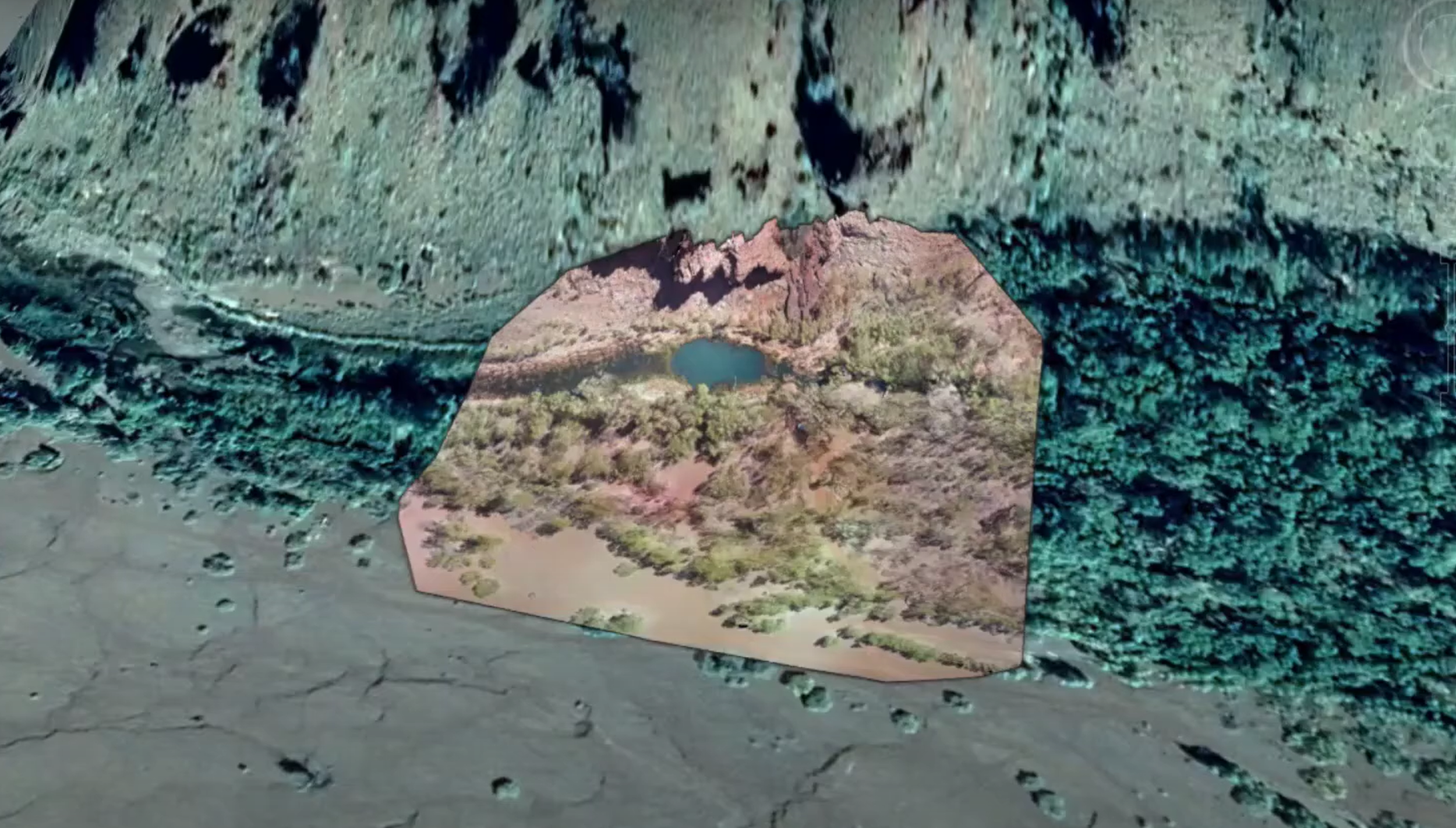
Digital Twins and Heritage Mapping
Learn more about how Digital Twin technology is revolutionising the way we map heritage.
Hearing history through maps
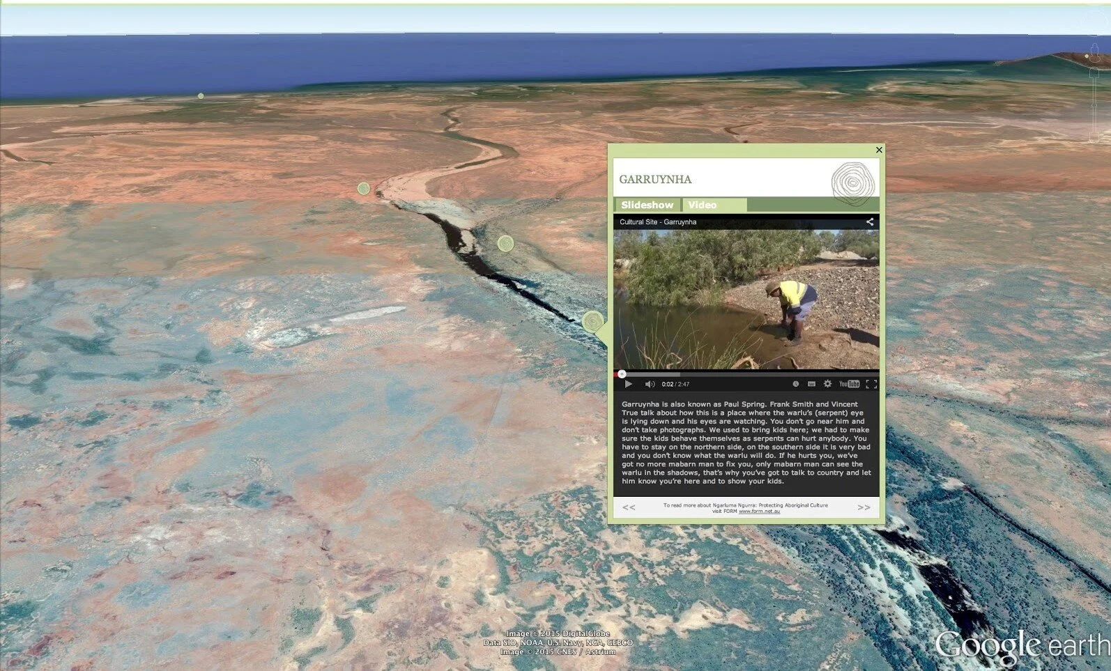
Winyama and the University of Melbourne’s Hearing Histories West Pilbara Project, is an accessible online resource in development for mapping archived recordings of Aboriginal Tjabi traditions. Learn more about it here.
Participants to presenters: Willowra Community hosts mapping workshops
IMW Australia 2019 attendees from Willowra community used their scholarship funds to host two intensive digital mapping workshops in Alice Springs. Find out more.
“Indigenous maps can protect areas for the future” - Elisha Jacobs-Smith
Hear from regional IMW attendee, Elisha Jacobs-Smith, to learn about how his newly acquired skills will benefit him into the future.
A new data partnership with national scope
The Winyama team is excited to formally announce our partnership with the University of Melbourne’s Indigenous Data Network (IDN) — a collaboration connecting two organisations that share the same vision.
I’ve got drone data, now what?
Unmanned aerial vehicles (UAVs), or drones, are becoming an increasingly popular way of visualising and monitoring landscapes. Read different ways that you can begin incorporating your drone imagery data into your Geographic Information Systems (GIS).
Winyama hosts first regional Indigenous Mapping Workshop
Winyama hosts the first face-to-face Indigenous Mapping Workshop (IMW) Australia since the previous flagship event in 2019. As a part of the new ‘Regional IMW’ program, this pilot event brought together Indigenous Rangers from the Department of Biodiversity, Conservation and Attractions’ southwest and midwest regions.
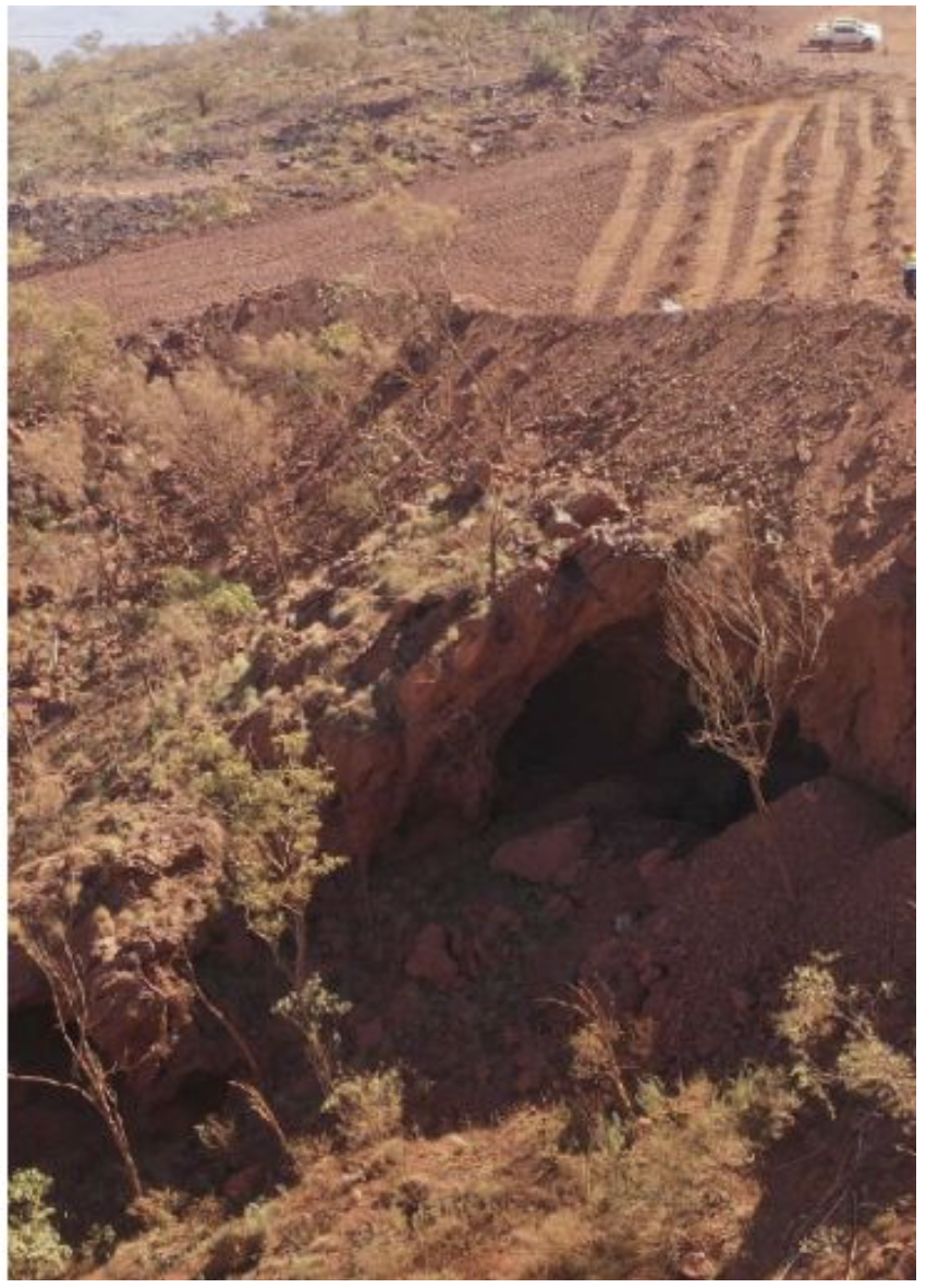
What do the Juukan Gorge recommendations mean for me?
The Joint Standing Committee on Northern Australia has said ‘Never Again’ along with a number of recommendations shared in the interim report for the Inquiry into the destruction of Juukan Gorge. Find out how they relate to GIS and what they mean to you.
Collecting and Visualising Learner Data with Google Data Studio
Inbuilt data visualisation tools can often come with challenges and limitations. We have broken down why using tools like Google Data Studio are beneficial for visualising crucial educational data.
Plan for Our Parks and Aboriginal employment
Plan for Our Parks is a Western Australian Government initiative that has established long-term management and co-management agreements with Indigenous groups to increase conversation. Read more about how this program impacts Indigenous Rangers and Native Title organisations.
How spatial strategy can help your Native Title business
For all industries working in areas of land tenure, having a spatial strategy is one of the most beneficial things you can do. Here we explain why you should be thinking about your own spatial strategy, how it relates to Native Title, and why it is so important.
How the IMW is addressing UN sustainable development goals
At Winyama, we are committed to addressing the UN’s Sustainable Development Goals through our delivery of the Indigenous Mapping Workshop Australia. Find out how.
Data governance in Native Title: Why it's important
Having an adequate data management system in place and practicing data governance is fundamental for Native Title Organisations to succeed. Find out why.
Producing a virtual and inclusive Acknowledgement of Country
The launch of IMW Australia - On Demand pushed our creative boundaries when it came to delivering an authentic Welcome to Country for our participants. Read about how we navigated this space.
Mapping Country in 3D just makes sense. Here’s why.
Indigenous Elders across Australia have an extensive knowledge of the landscape and an understanding of country that is most accurately displayed using 3D GIS technology.
IMW Australia - On Demand streams and their course card symbolism
To meet the various learning requirements of all participants, the IMW Australia - On Demand hosts four course streams that each cater to a different learner and technology. These are identifiable by course cards cleverly constructed by Leon Design.
How do the IMW Australia - On Demand virtual labs work?
IMW Australia - On Demand has introduced virtual labs, which are useful for participants who are unable to, or don’t have permission to download software onto their computer. But what is a virtual lab and how does it work?
Winyama successfully launches Australia’s first free, online, Indigenous mapping training
On the 22nd September 2020, Winyama officially launched the IMW Australia - On Demand - an online learning platform hosting specialised geospatial training for Indigenous organisations
Leon Design and the IMW Australia - On Demand
IMW Australia have worked with Leon Design and Google Creative Labs to produce a to develop an Indigenous visual identity for the IMW Australia - On Demand learning platform.
Best practices for the field: Tips for conducting interviews for heritage mapping
Conducting interviews is an integral part of heritage mapping and involves asking questions that locate sites of cultural significance. We have compiled some of our tips and a best practice guide for the field to help get you started.


